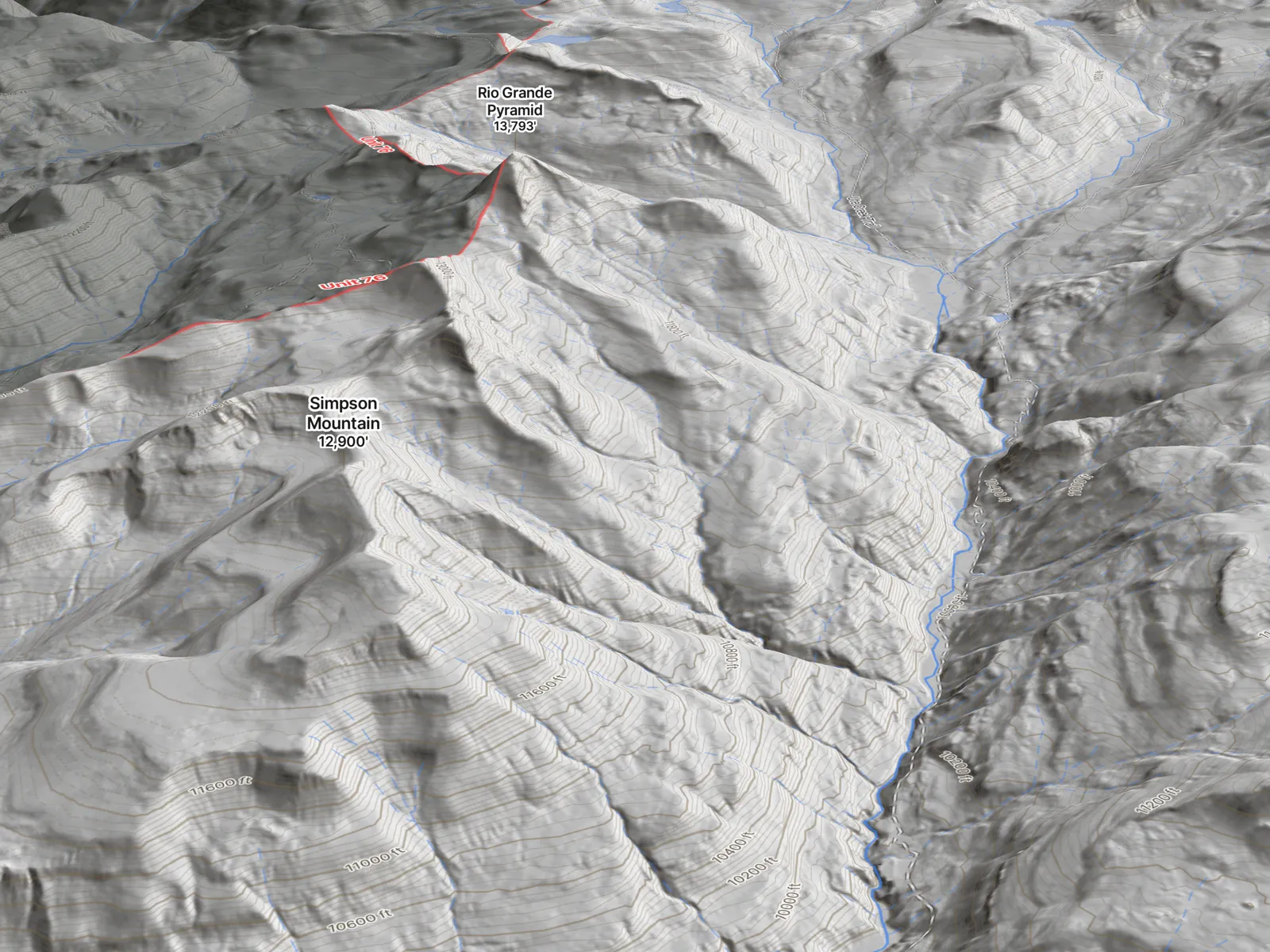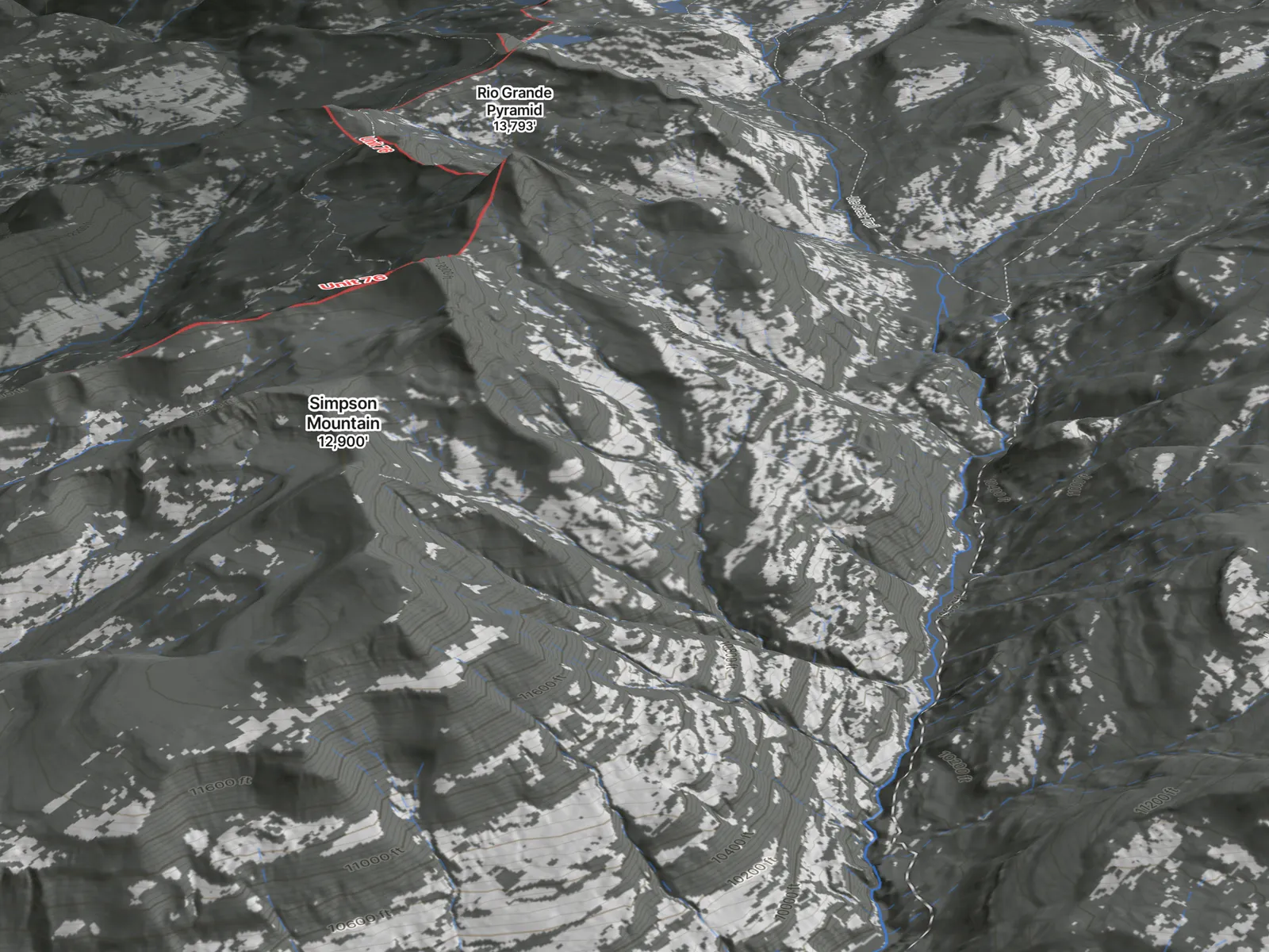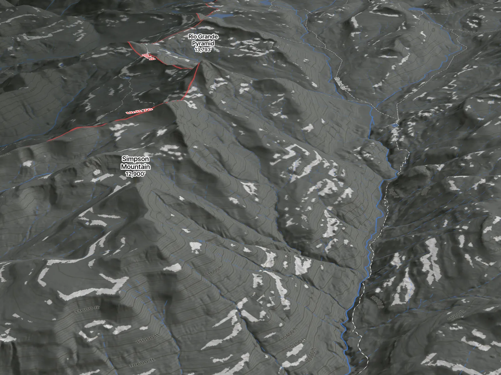
Colorado high country at first light.
AI e-scouting · Colorado elk

It does the research.
You make the call.

Hunting a unit you've never set foot in? Glassline compresses 40 hours of e-scouting into a playbook you refine — ranked hunt areas, plays, and packout math. Built on elk-hunting know-how, not a magic elk-finder.

Become a founding member See how a unit becomes a plan →

$39.99/yr — first 500 hunters, rate locked.

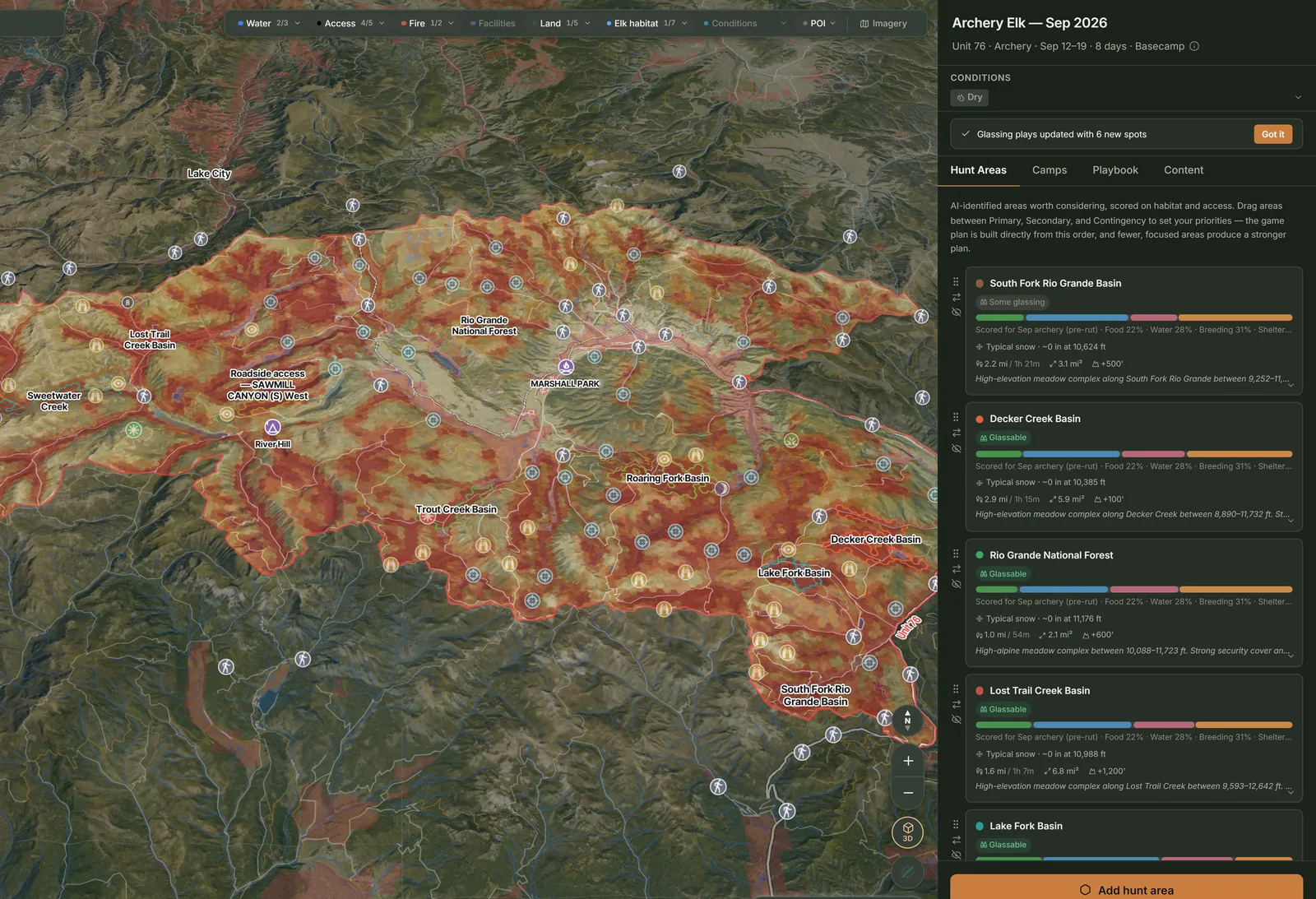
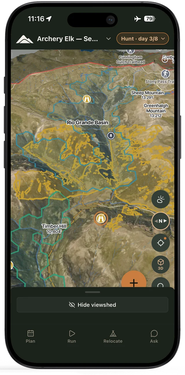
The Glassline map: scored hunt areas and points of interest across a Colorado unit.
186
Colorado game management units
43 elk herd units, scored by year
135K mi
Miles of road mapped
23K miles of trail · 2.5K trailheads
40+
Public datasets read for every plan
10+ federal and state agencies
20+
Personalized inputs shape every plan
Every dataset and its source →
The walkthrough

See how it works, start to finish.

A short tour of Glassline in the live app — from describing your hunt to a routed playbook you refine.

See how a unit becomes a plan →

The sequence

How a unit becomes a plan.

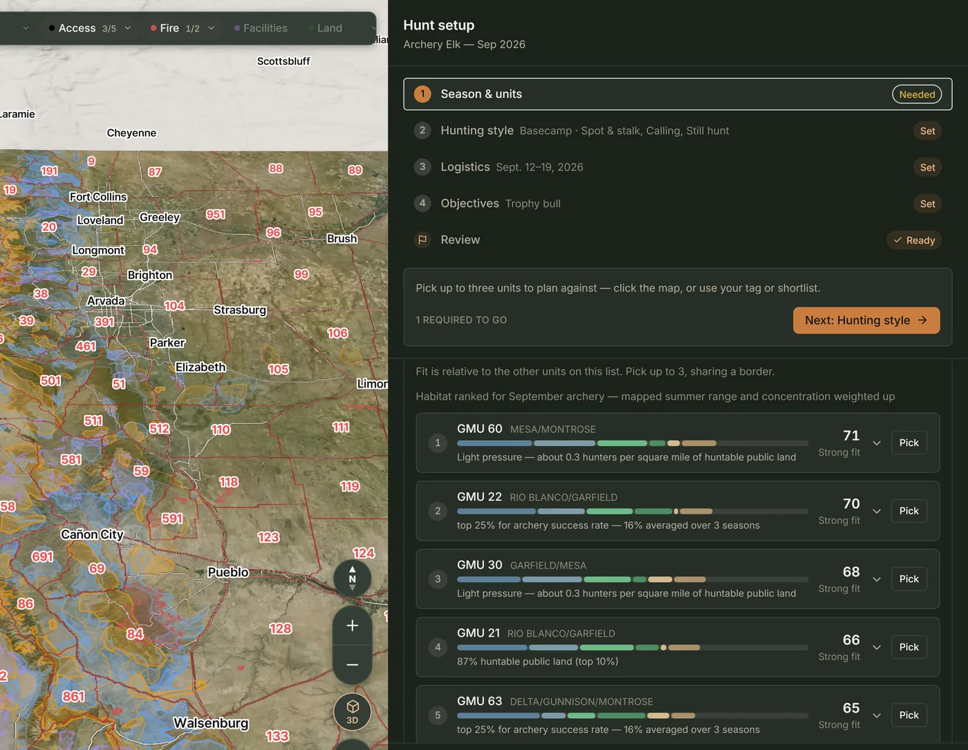
Season, units, logistics and objectives set for a hunt.
01

Describe the hunt

Unit, season, party, objectives, tactics, logistics.

Fitness level set to full days with steady climbing.
02

Describe the hunter

Experience, fitness, range, gear.

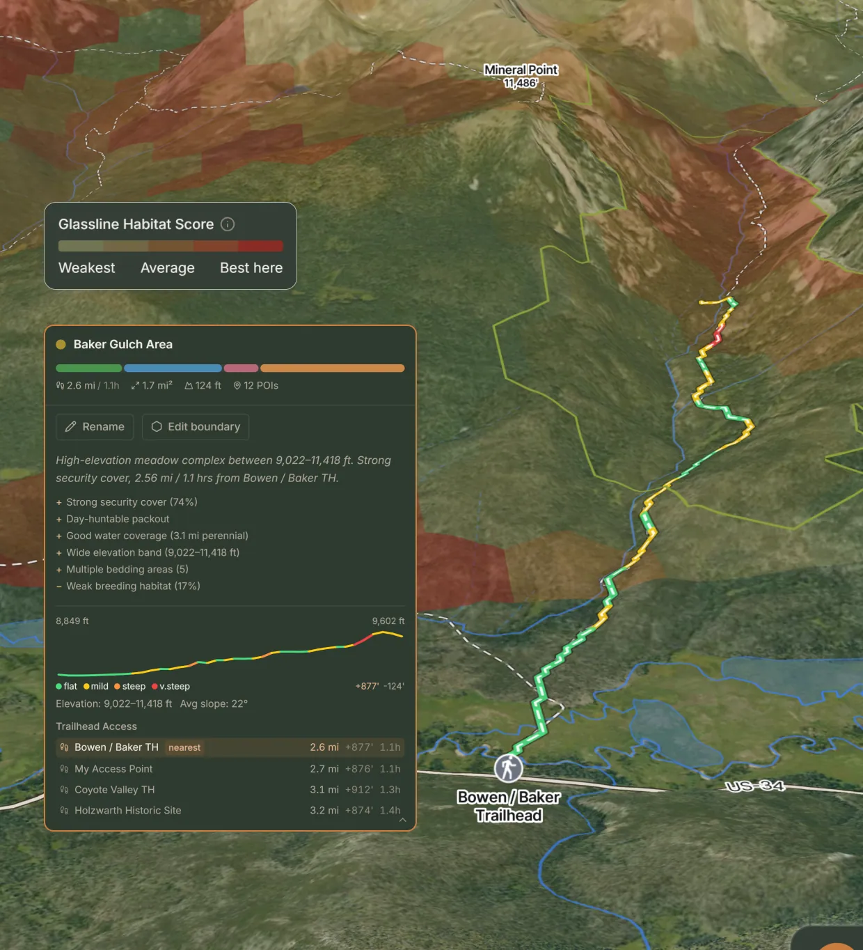
Habitat score drawn across named creek basins.
03

Narrow the unit

Habitat, access, and pressure scored into hunt areas worth planning around.

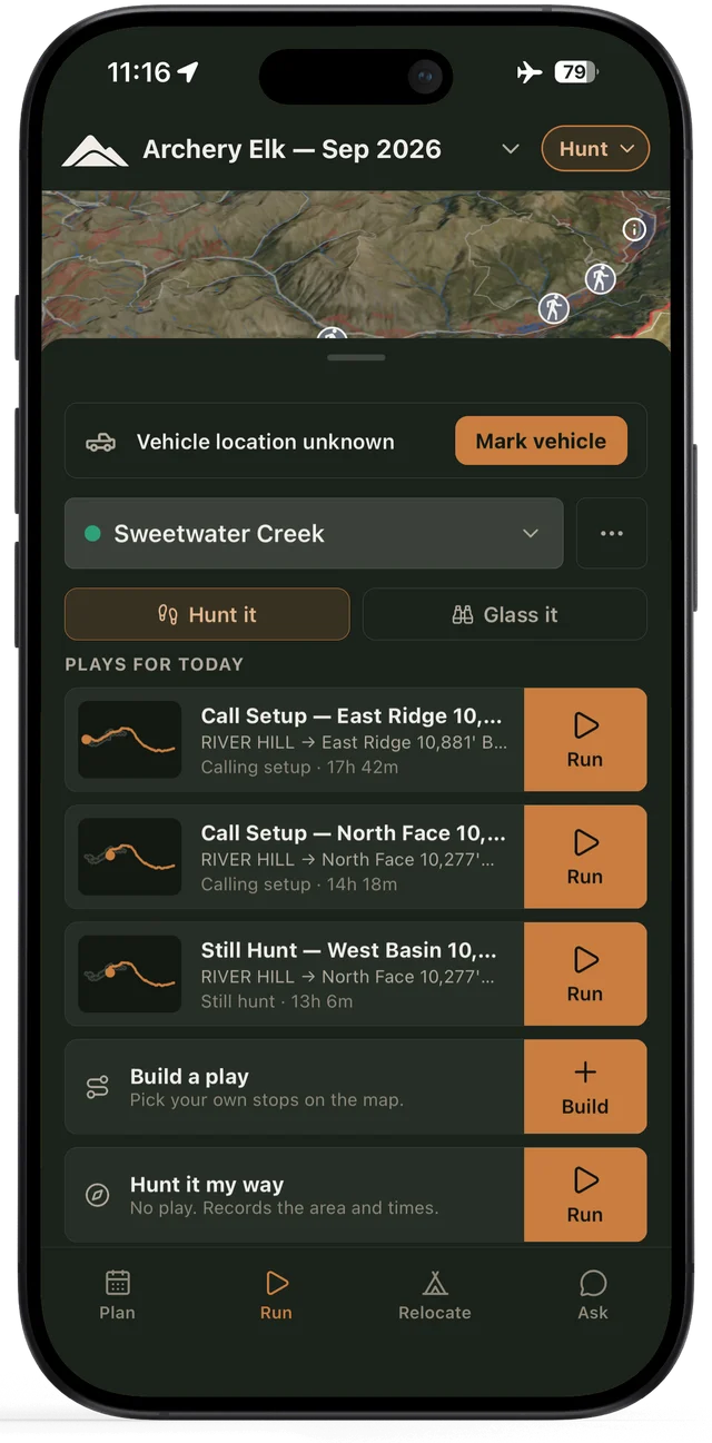
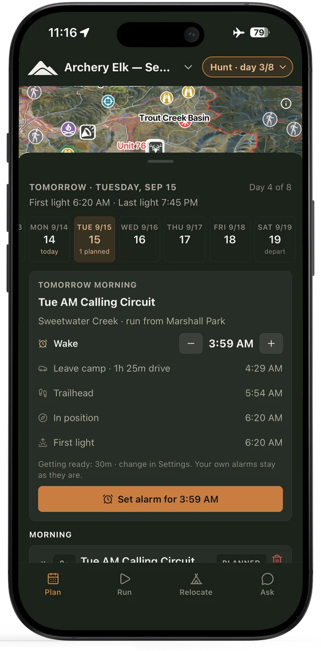
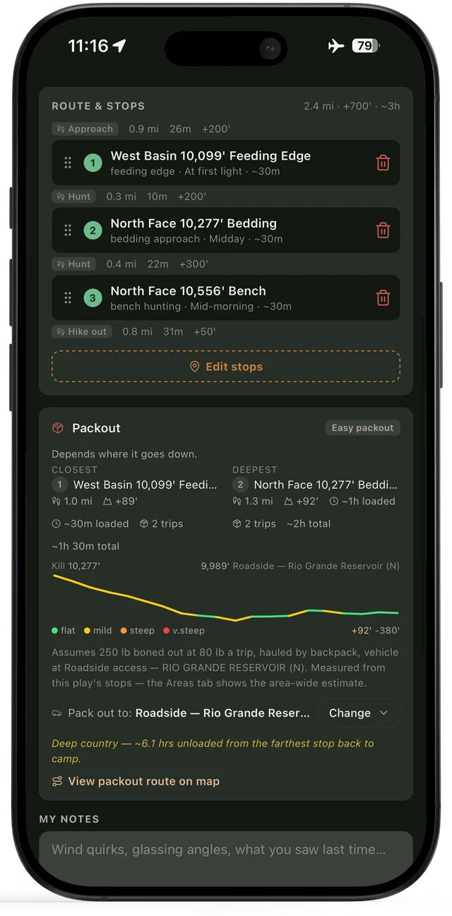
Strike plays with conditions and effort for each.
04

Build the playbook

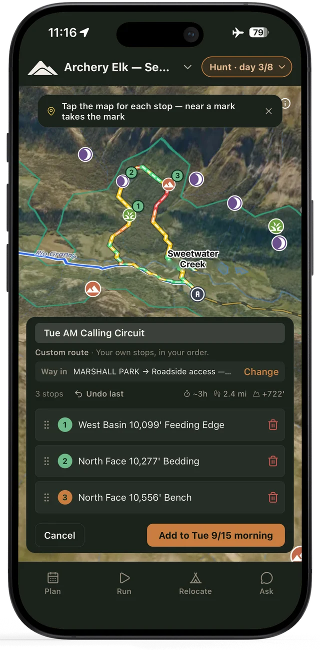
Plays to locate and strike, with steps, routing logistics, and packout estimates.

Walk through the full sequence — scoring, access, packout →

Ask Glassline

Ask anything about your hunt.

Glassline cross-references every integrated dataset and shows its work.

Ask Glassline
Comparing units
Pick an exchange

Ask about the ground, the access, or the packout — every answer cites the datasets it came from.

Leftover list is up. I can hunt five days of second rifle, solo, truck camping, decent shape. I'm between two units I've never set foot in — 18 and 28. What should I be weighing?

Here's how they stack up for five days of second rifle, solo, out of a truck camp:

Unit 18Unit 28
Herd (2025 post-hunt)3,2202,660
Bull:cow ratio29:10026:100
Success rate (recent)9–13%5–8%
Hunter density34 days/sq mi17 days/sq mi
Huntable public land64%67%
Prime burn regrowth194,000 ac (East Troublesome)14,700 ac (Williams Fork)

Unit 18 carries the stronger harvest numbers — 9–13% success over the last three seasons against 28's 5–8% — and the East Troublesome burn is a real feed signal: 194,000 acres inside the 4–10-year regrowth window that scores highest for food. The trade is pressure — hunter density runs about twice 28's — and a herd that's slid from 4,145 to 3,220 since 2021.

Unit 28 is quieter country: roughly half the hunter-days per square mile, 50 trailheads against 18's 35, and 67% huntable public. The flag is herd health — the bull:cow ratio dropped from 40 to 26 in one year, and success rates have trended down since 2020.

The trade in one line: the harvest data leans 18; the pressure data leans 28. One note for both — last winter's snowpack came in near 60% of median, so the model has the water weight up and the elevation ceiling higher than a normal year.

You make the call.

SourcesCPW harvest statsHerd estimatesSNOTELFire perimeters

Ask about your unit…

See how a unit becomes a plan →

To the field

Take it anywhere.

Glassline is the planning layer, not another map to manage. Build the plan here, run it in the apps already on your phone.

In: your waypoints

Years of pins in onX or Gaia? Bring them. Glassline imports GPX and KML, and the ground you already know shapes the plan.

Out: the field kit

Every plan exports as GPX and KML — the points you kept and the routes between them — into onX, Gaia, or Garmin.

Glassline runs in your browser — built for desktop e-scouting, responsive on your phone. Native apps are coming.

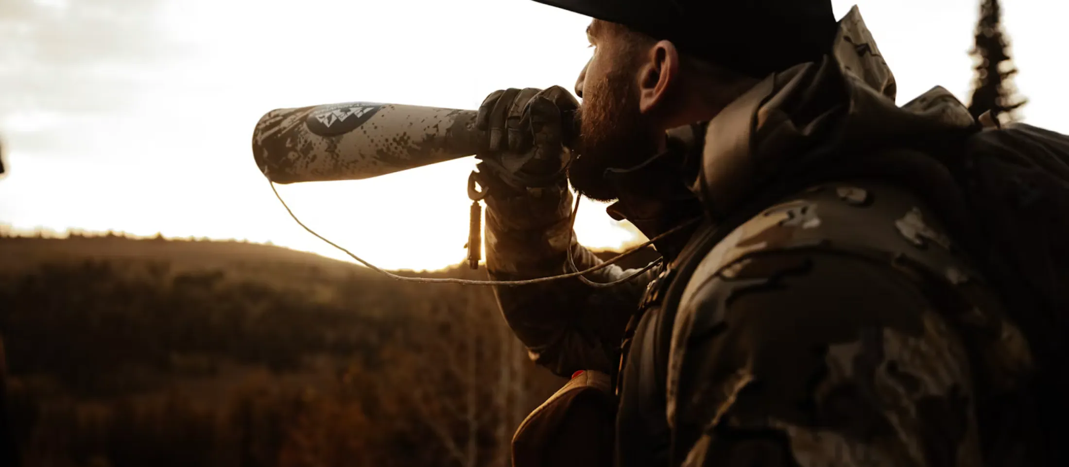
A hunter calling from a ridge at last light.

You read the mountain. You call the play.

Become a founding member
What hunters are saying
Using Glassline has been a unique experience unlike anything that I have used before. Everyone knows about onX, Google Maps, etc., all of which are great, but Glassline takes e-scouting to another level. I have reviewed their information and planning on past units I have hunted, and I have found the data very accurate. I am excited to now try to use the hunt playbook in new units this year!
Cody M.
Colorado
It is what I have been doing the last few years but using multiple apps, programs, and websites to achieve this. Which included HOURS of staring at aerial photos prior to checking out new areas.
Jesse M.
Colorado · 41 seasons · Environmental consultant
Super user-friendly, and I can't wait to use it out in the field. As someone who sometimes hunts solo, I've been looking for something like this.
Makenna N.
Colorado · Beta member
Colorado first

Your 2026 season. Locked in.

Built Colorado-first: the largest elk herd in the country and the most complex tag system in the West, with every dataset and every play tuned for it. More states are on the roadmap. Founding members get them first.

Founding member
$39.99 /yr

First 500 hunters. Your rate stays locked as long as your subscription is active. $59.99/yr after. Live now, in time for the 2026 season.

Become a founding member
We are fair chase hunters

Glassline maps the mountain, never the hunters.

Glassline encodes elk-hunting know-how — terrain, seasons, tactics, logistics. It never uses real-time animal locations, collar data, or crowdsourced sightings, and it never will. There is no shared hotspot list and no map of where hunters go. We help you plan the hunt. The hunt is still yours.

Read our full stance on fair chase →